Spatial Analytics
Mapping Success, Navigating Futures
Spatial analytics involves analyzing geographic data to uncover patterns, trends, and insights relevant to specific locations. By integrating geographic information systems (GIS), statistical analysis, and visualization techniques, it enables organizations to make informed decisions in urban planning, environmental management, logistics, and more. This data-driven approach facilitates optimized resource allocation, risk assessment, and strategic planning, enhancing efficiency and sustainability in various domains while supporting evidence-based decision-making for complex spatial problems.
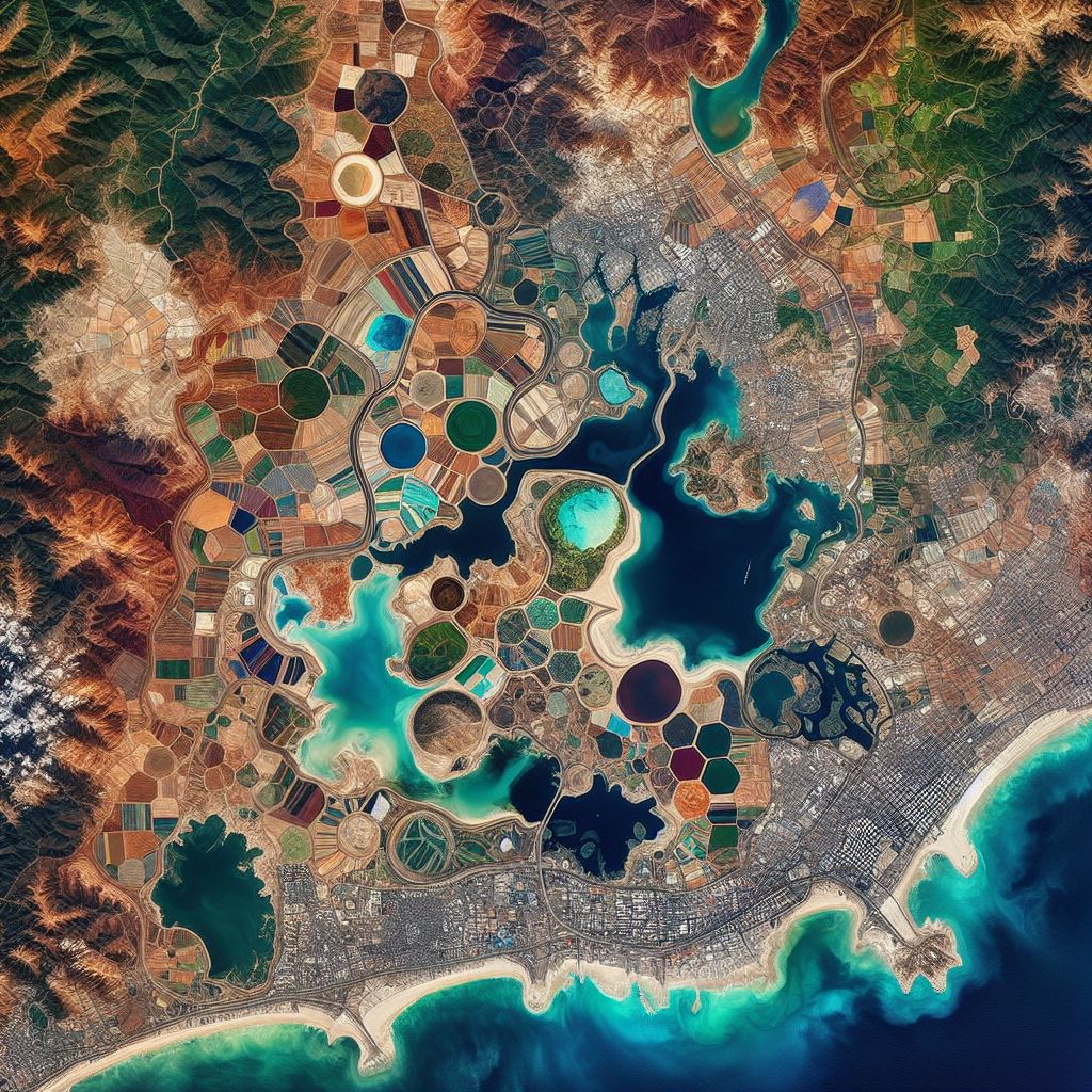
Land Cover Detection
Our Land Cover Detection solution employs satellite imagery and machine learning algorithms to classify land cover types accurately. By analyzing spectral signatures and spatial patterns, it identifies vegetation, water bodies, urban areas, and more. This facilitates environmental monitoring, urban planning, and natural resource management. With automated land cover detection, organizations can assess land use changes, monitor ecosystem health, and plan sustainable development strategies, enhancing decision-making and conservation efforts for a more resilient and sustainable future.

Crop health Monitoring
Our Crop Health Monitoring solution utilizes remote sensing data and machine learning techniques to assess the health status of crops. By analyzing spectral reflectance patterns, it detects signs of stress, disease, or nutrient deficiencies in plants. This enables farmers to take timely actions such as targeted irrigation or pesticide application, optimizing crop yields and resource usage. By providing actionable insights, crop health monitoring accelerates precision agriculture practices, enhancing sustainability, resilience, and profitability in modern farming operations.
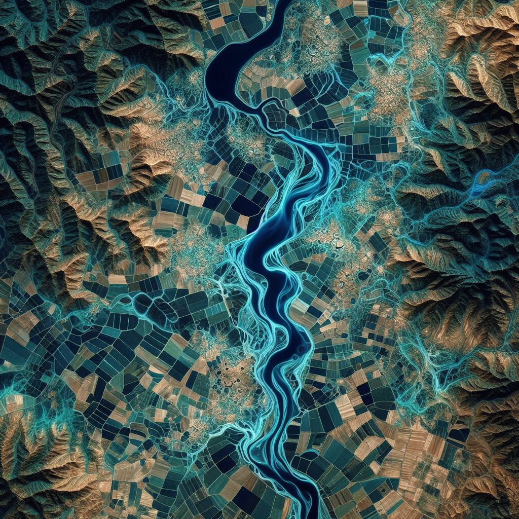
Water Stress Monitoring
Our Water Stress Monitoring solution employs satellite data and machine learning algorithms to assess water stress levels in regions. By analyzing factors such as soil moisture, vegetation health, and climate patterns, it identifies areas at risk of water scarcity, enabling proactive water management strategies for agriculture, conservation, and disaster preparedness.
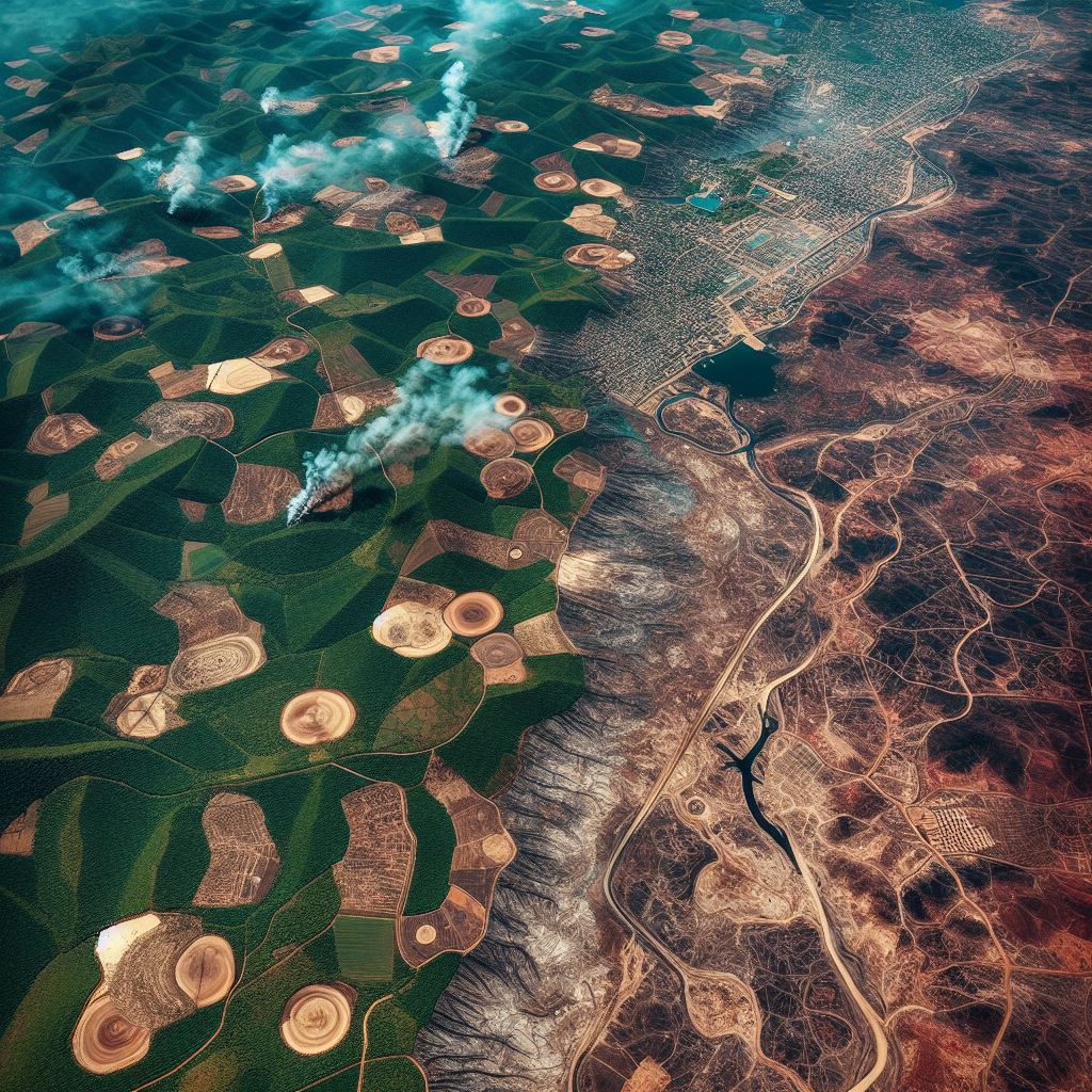
Deforestation identification
Our Deforestation Identification solution utilizes satellite imagery and machine learning to detect and monitor deforestation activities. By analyzing changes in vegetation cover and land use patterns, it identifies areas undergoing deforestation, enabling timely intervention and conservation efforts to preserve ecosystems and biodiversity.

Wildfire detection
Our Wildfire Detection solution employs satellite imagery and AI algorithms to identify and monitor wildfire occurrences. By analyzing thermal anomalies and smoke plumes, it enables early detection, rapid response, and effective firefighting strategies, reducing the risk of widespread damage to forests, ecosystems, and human settlements.

Digital Elevation model
Our Digital Elevation Model (DEM) accelerator utilizes satellite or aerial data to create accurate representations of terrain elevation. By employing advanced algorithms, it generates high-resolution elevation maps, supporting various applications such as flood risk assessment, urban planning, and infrastructure development, facilitating informed decision-making and efficient resource allocation.